Promotion
Sign up for our newsletter to get 20% off sitewide!

By clicking “Accept,” you agree to the use of cookies and similar technologies on your device as set forth in our Cookie Policy and our Privacy Policy. Please note that certain cookies are essential for this website to function properly and do not require user consent to be deployed.
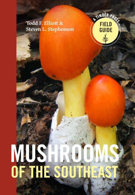
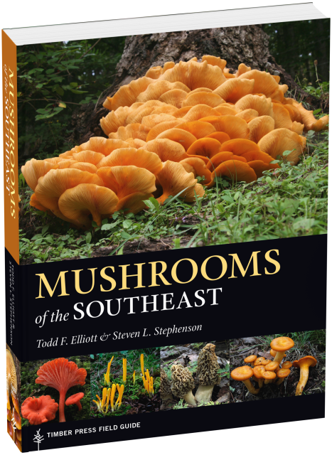
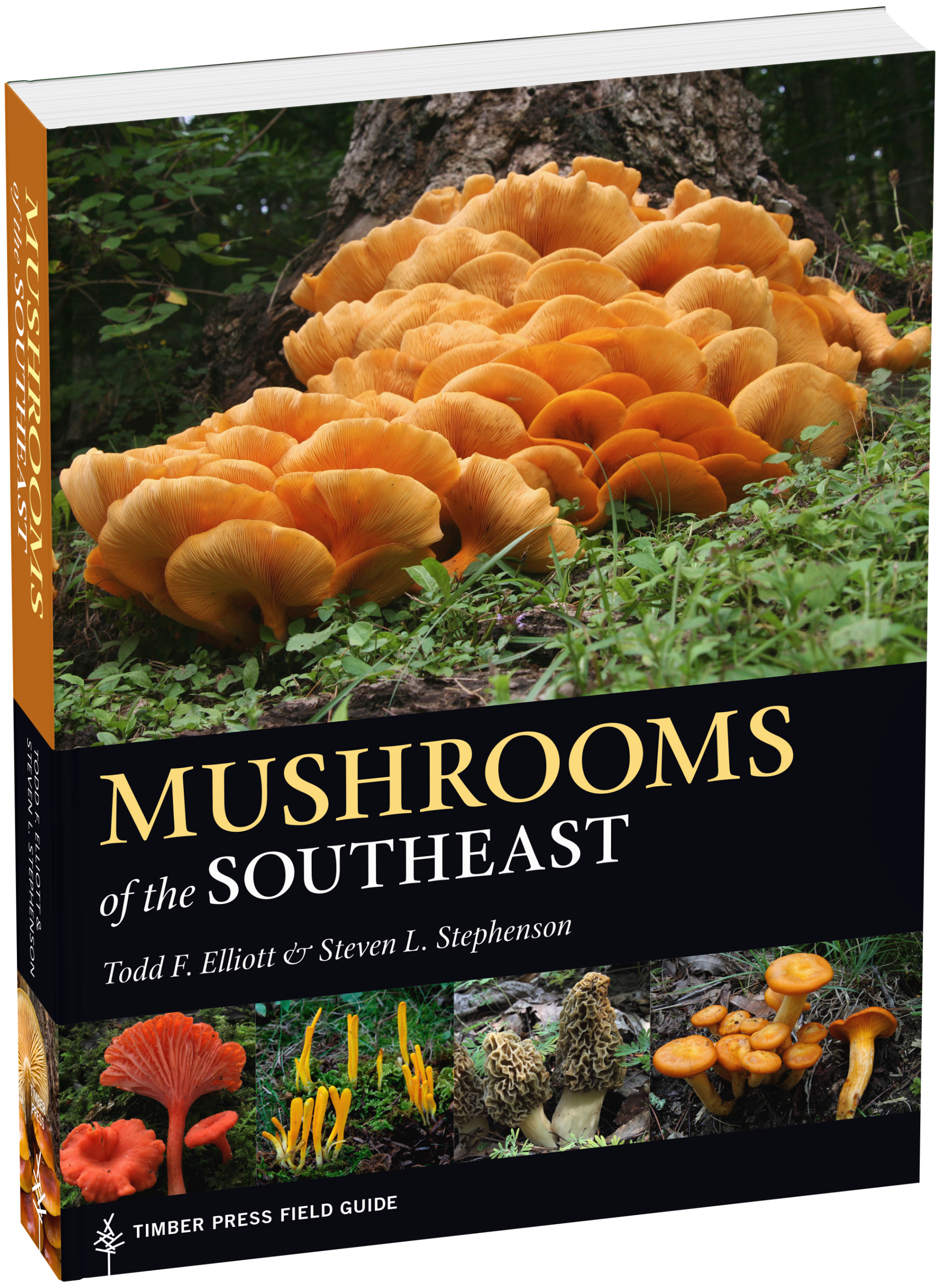
Mushrooms of the Southeast


Contributors
Formats and Prices
- On Sale
- Jan 24, 2018
- Page Count
- 408 pages
- Publisher
- Timber Press
- ISBN-13
- 9781604697308
Price
$29.99Price
$38.99 CADFormat
Format:
Flexi-bound Paperback $29.99 $38.99 CADThis item is a preorder. Your payment method will be charged immediately, and the product is expected to ship on or around January 24, 2018. This date is subject to change due to shipping delays beyond our control.
Buy from Other Retailers:
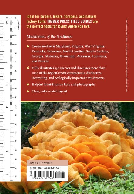
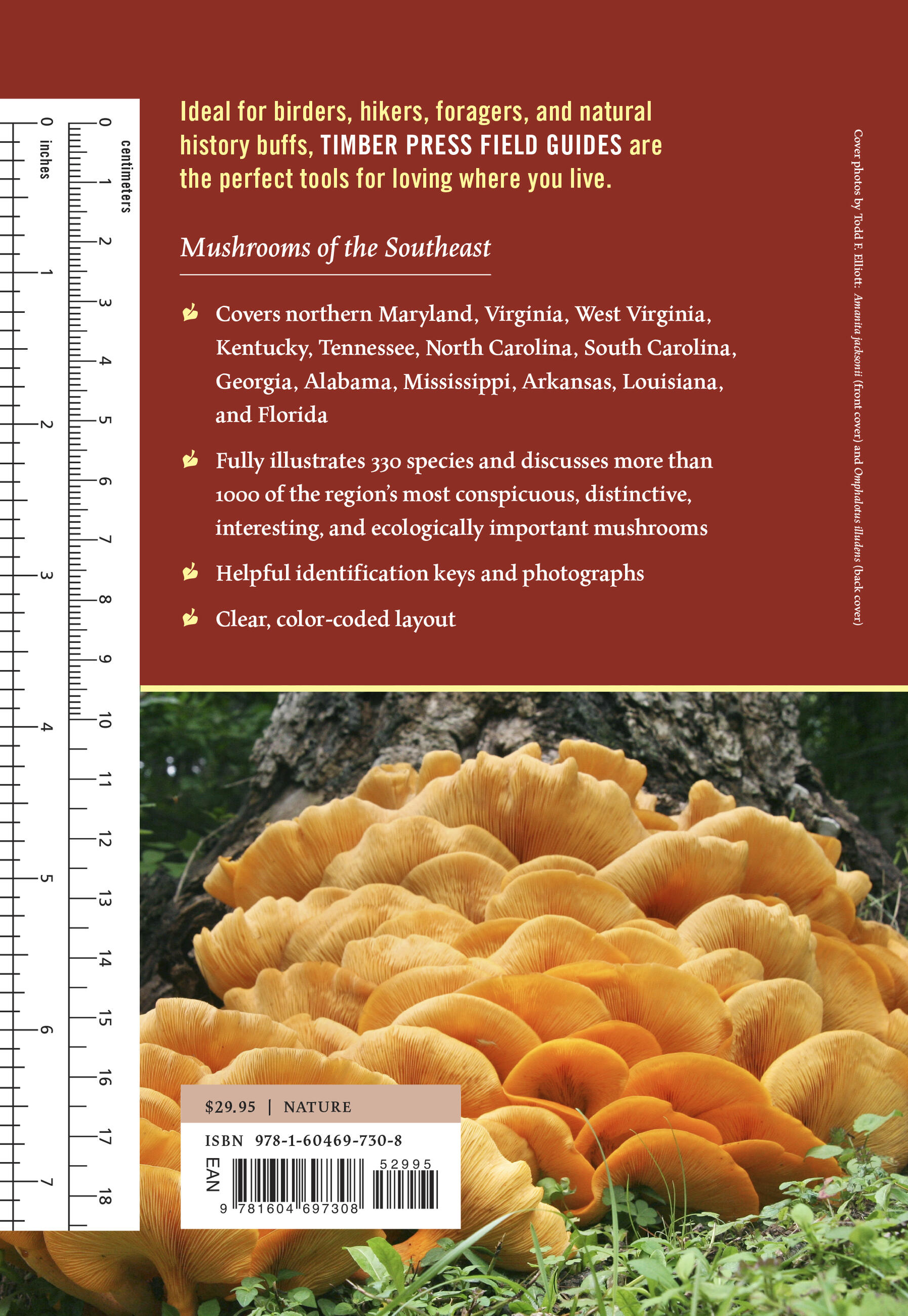
Ideal for hikers, foragers, and naturalists, the Timber Press Field Guides are the perfect tools for loving where you live.
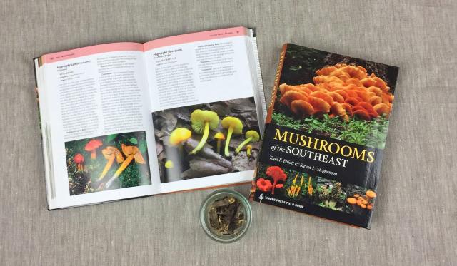
Mushrooms of the Southeast is a comprehensive field guide to the most conspicuous, distinctive, and ecologically important mushrooms found in the region. This useful guide features introductory chapters on the basics of mushroom structure, life cycles, and habitats. Profiles include color photographs, keys, and diagrams to aid in identification, and tips on how to recognize and avoid poisonous mushrooms.
- Covers Alabama, Arkansas, northern Florida, Georgia, Kentucky, Louisiana, Maryland, Mississippi, North Carolina, South Carolina, Tennessee, Virginia, and West Virginia
- Describes and illustrates more than 350 species
- 348 photographs, with additional keys and diagrams
- Clear, color-coded layout
Genre:
Series:
-
The Daily Press
“Southeastern mushroom identifiers will need this book. . . to maximize their chances for success. It offers appropriately detailed, up-to-date coverage in an attractive, conveniently sized, and reasonably priced package. Buying it should be an easy decision for mushroomers in the Southeast.” I>The Mycophile
“An engaging field guide to fungal fruiting bodies of the American Southeast. . . . a useful guide for amateurs and professionals alike.” I>Choice Magazine
"Wonderful… I love any book with a ruler designed into the back cover so you can measure your specimens.” B>Quail Ridge Books
“An essential guidebook for mushroom hunting, the perfect social distancing sport.”