By clicking “Accept,” you agree to the use of cookies and similar technologies on your device as set forth in our Cookie Policy and our Privacy Policy. Please note that certain cookies are essential for this website to function properly and do not require user consent to be deployed.
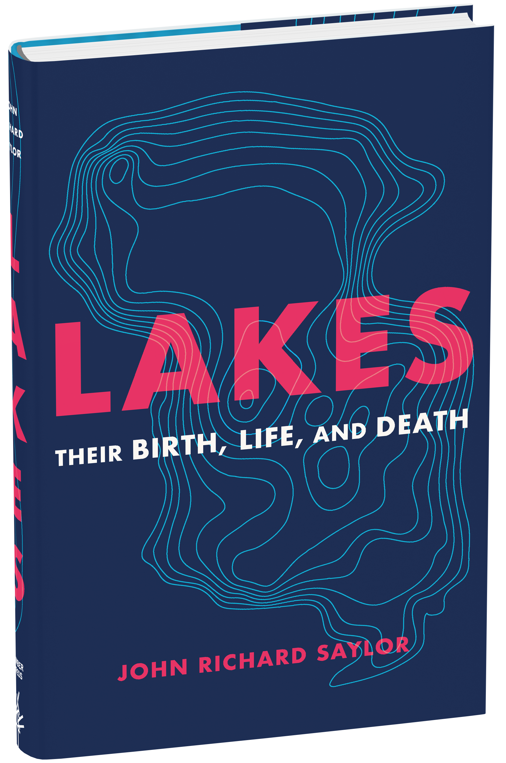
Lakes
Their Birth, Life, and Death
Contributors
Formats and Prices
Price
$27.95Price
$34.95 CADFormat
Format:
- Hardcover $27.95 $34.95 CAD
- ebook $13.99 $17.99 CAD
This item is a preorder. Your payment method will be charged immediately, and the product is expected to ship on or around June 7, 2022. This date is subject to change due to shipping delays beyond our control.
Also available from:
Lakes might be the most misunderstood bodies of water on earth. And while they may seem commonplace, without lakes our world would never be the same. In this revealing look at these lifegiving treasures, John Richard Saylor shows us just how deep our connection to still waters run.
Lakes is an illuminating tour through the most fascinating lakes around the world. Whether it’s Lake Vostok, located more than two miles beneath the surface of Antarctica, whose water was last exposed to the atmosphere perhaps a million years ago; Lake Baikal in southern Siberia, the world’s deepest and oldest lake formed by a rift in the earth’s crust; or Lake Nyos, the so-called Killer Lake that exploded in 1986, resulting in hundreds of deaths, Saylor reveals to us the wonder that exists in lakes found throughout the world. Along the way we learn all the many forms that lakes take—how they come to be and how they feed and support ecosystems—and what happens when lakes vanish.
-
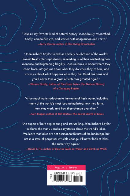
“Saylor delivers science in a layperson’s language to detail their forms, how they’re created, how they’re miraculously sustained, and, yes, how they die. Revelations abound.”—Booklist
“Lakes is my favorite kind of natural history: meticulously researched, timely, comprehensive, and written with imagination and verve.”—Jerry Dennis, author of The Living Great Lakes
“Lakes is a timely celebration of the world’s myriad freshwater repositories, reminding us of their comforting permanence and frightening fragility. Lakes informs us about where they come from, intrigues us about what they do when they’re here, and warns us about what happens when they die. Read this book and you’ll never take a glass of water for granted again.”—Wayne Grady, author of The Great Lakes: The Natural History of a Changing Region
"A far-reaching introduction to the realm of fresh water, including many of the world's most fascinating lakes; how they form, how they work, and how they change over time."—Curt Stager, author of Still Waters: The Secret World of Lakes
“An expert of both engineering and storytelling, John Richard Saylor explores the many unsolved mysteries about the world’s lakes. We learn that lakes are not permanent fixtures of the landscape but are in a state of perpetual invisible change. I’ll never look at lakes the same way again.” —David L. Hu, author of How to Walk on Water and Climb up Walls
- On Sale
- Jun 7, 2022
- Page Count
- 240 pages
- Publisher
- Timber Press
- ISBN-13
- 9781643260488
You May Also Like


Newsletter Signup
By clicking ‘Sign Up,’ I acknowledge that I have read and agree to Hachette Book Group’s Privacy Policy and Terms of Use