Promotion
Use code MOM24 for 20% off site wide + free shipping over $45
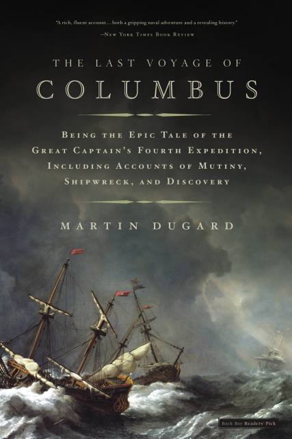
The Last Voyage of Columbus
Being the Epic Tale of the Great Captain's Fourth Expedition, Including Accounts of Swordfight, Mutiny, Shipwreck, Gold, War, Hurricane, and Discovery

Contributors
Formats and Prices
Price
$9.99Price
$12.99 CADFormat
Format:
- ebook $9.99 $12.99 CAD
- Audiobook Download (Abridged) $24.99
- Trade Paperback $21.99 $28.99 CAD
This item is a preorder. Your payment method will be charged immediately, and the product is expected to ship on or around June 1, 2005. This date is subject to change due to shipping delays beyond our control.
Also available from:
The Year is 1500. Christopher Columbus, stripped of his title Admiral of the Ocean Seas, waits in chains in a Caribbean prison built under his orders, looking out at the colony that he founded, nurtured, and ruled for eight years. Less than a decade after discovering the New World, he has fallen into disgrace, accused by the royal court of being a liar, a secret Jew, and a foreigner who sought to steal the riches of the New World for himself.
The tall, freckled explorer with the aquiline nose, whose flaming red hair long ago turned gray, passes his days in prayer and rumination, trying to ignore the waterfront gallows that are all too visible from his cell. And he plots for one great escape, one last voyage to the ends of the earth, one final chance to prove himself. What follows is one of history’s most epic — and forgotten — adventures. Columbus himself would later claim that his fourth voyage was his greatest. It was without doubt his most treacherous. Of the four ships he led into the unknown, none returned. Columbus would face the worst storms a European explorer had ever encountered. He would battle to survive amid mutiny, war, and a shipwreck that left him stranded on a desert isle for almost a year.
On his tail were his enemies, sent from Europe to track him down. In front of him: the unknown. Martin Dugard’s thrilling account of this final voyage brings Columbus to life as never before-adventurer, businessman, father, lover, tyrant, and hero.
Genre:
- On Sale
- Jun 1, 2005
- Page Count
- 304 pages
- Publisher
- Little, Brown and Company
- ISBN-13
- 9780759513785
You May Also Like


Newsletter Signup
By clicking ‘Sign Up,’ I acknowledge that I have read and agree to Hachette Book Group’s Privacy Policy and Terms of Use