Promotion
Sign up for our newsletter to get 20% off sitewide!
By clicking “Accept,” you agree to the use of cookies and similar technologies on your device as set forth in our Cookie Policy and our Privacy Policy. Please note that certain cookies are essential for this website to function properly and do not require user consent to be deployed.
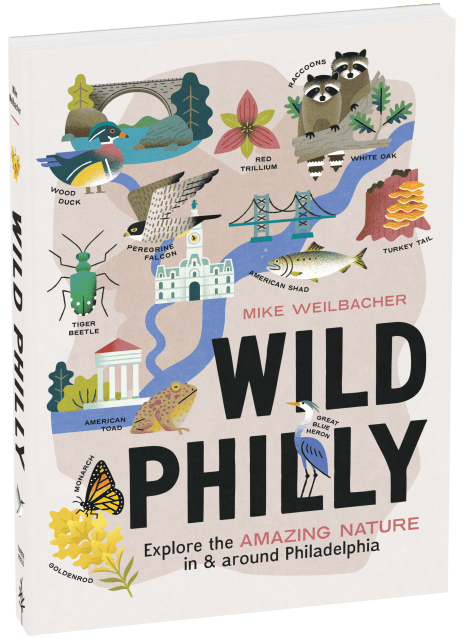
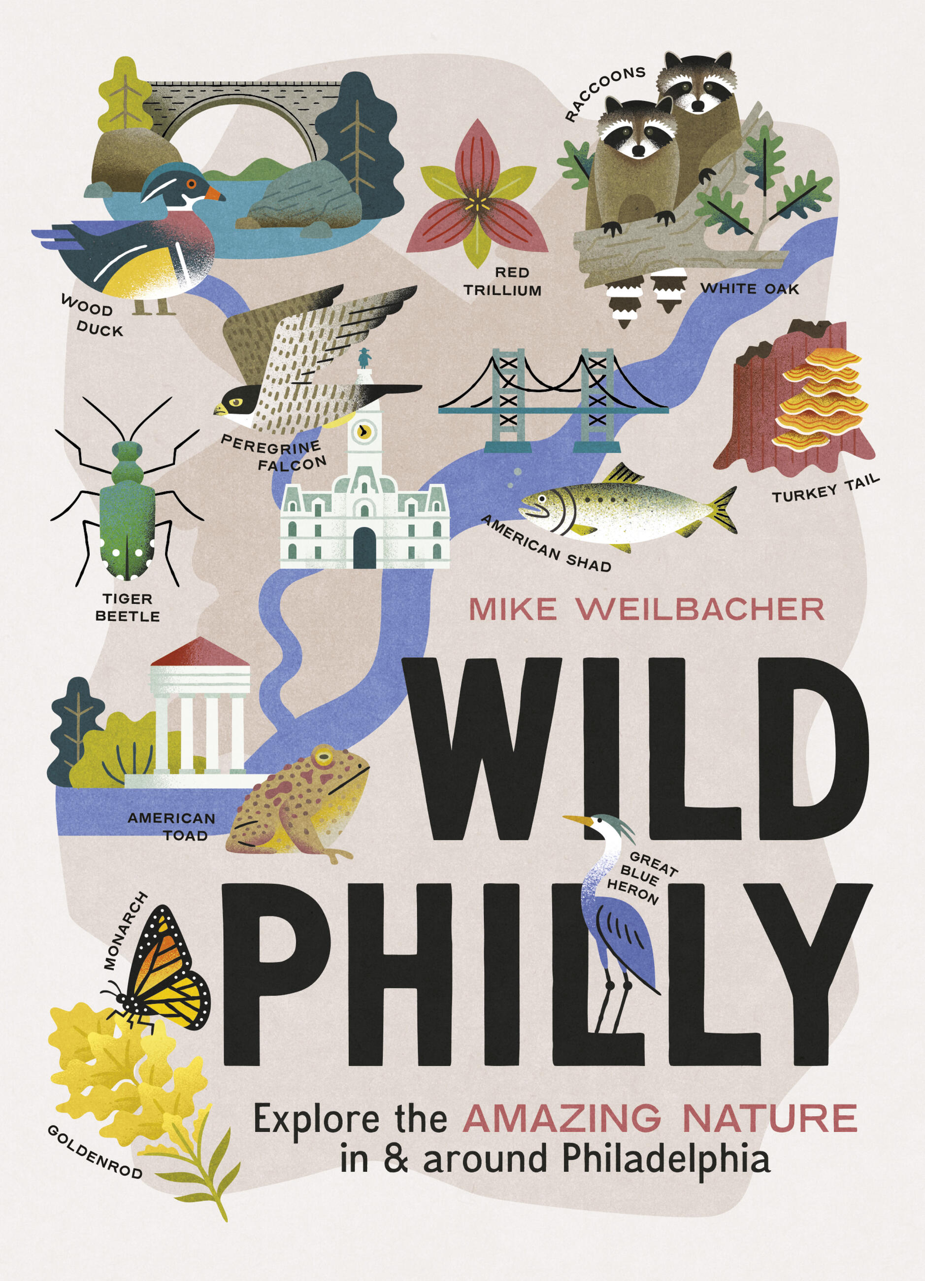
Wild Philly
Explore the Amazing Nature in and Around Philadelphia


Contributors
Formats and Prices
- On Sale
- Feb 28, 2023
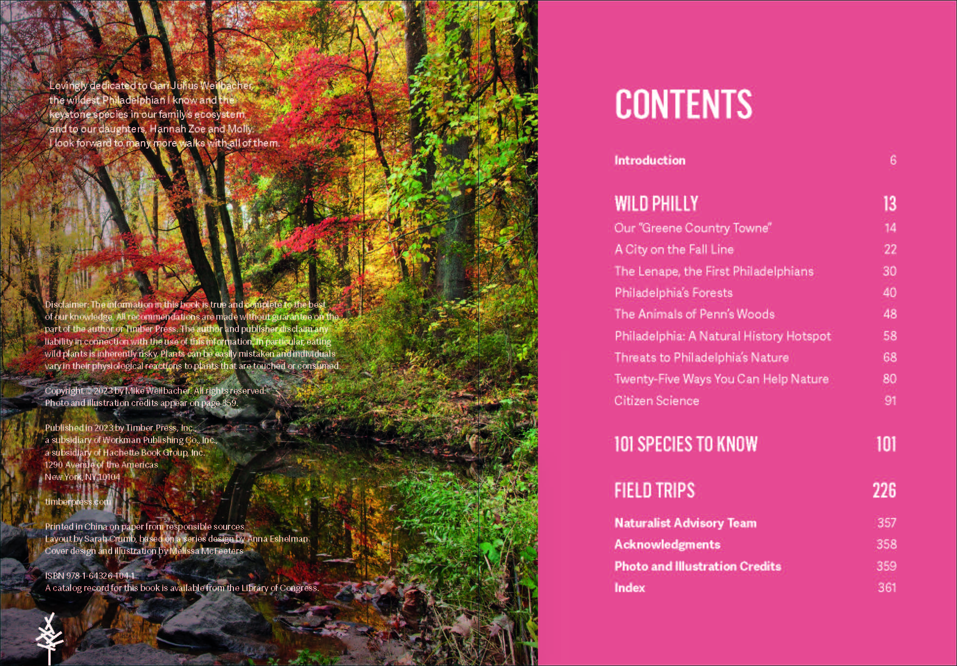
- Page Count
- 368 pages
- Publisher
- Timber Press
- ISBN-13
- 9781643261041
Price
$25.99Price
$32.99 CADFormat
Format:
- Trade Paperback $25.99 $32.99 CAD
- ebook $12.99 $16.99 CAD
This item is a preorder. Your payment method will be charged immediately, and the product is expected to ship on or around February 28, 2023. This date is subject to change due to shipping delays beyond our control.
Buy from Other Retailers:
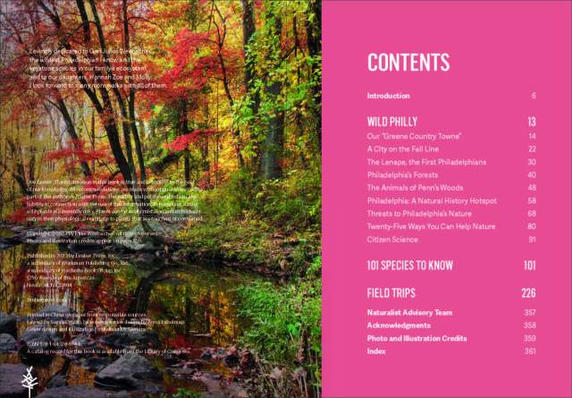
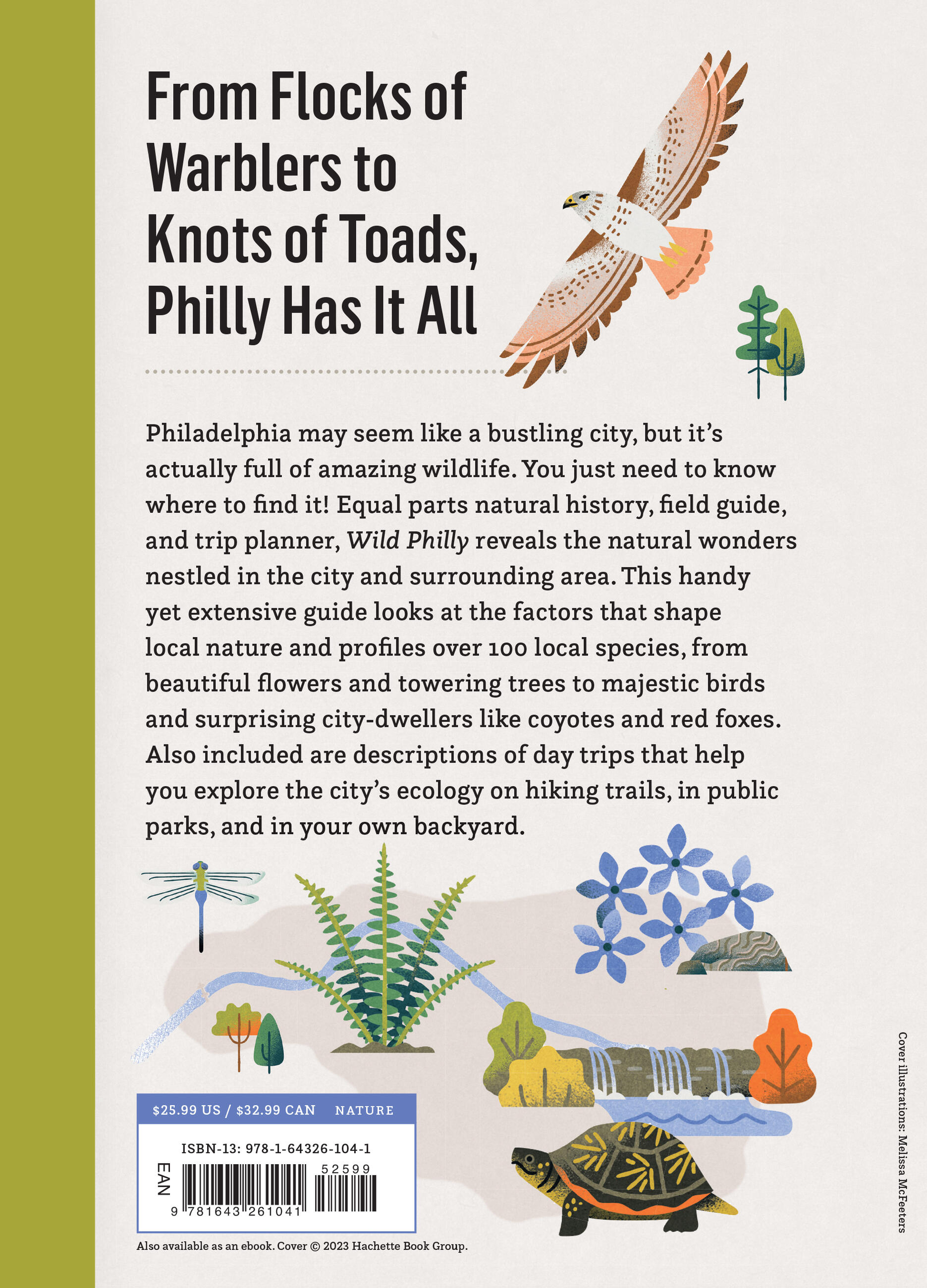
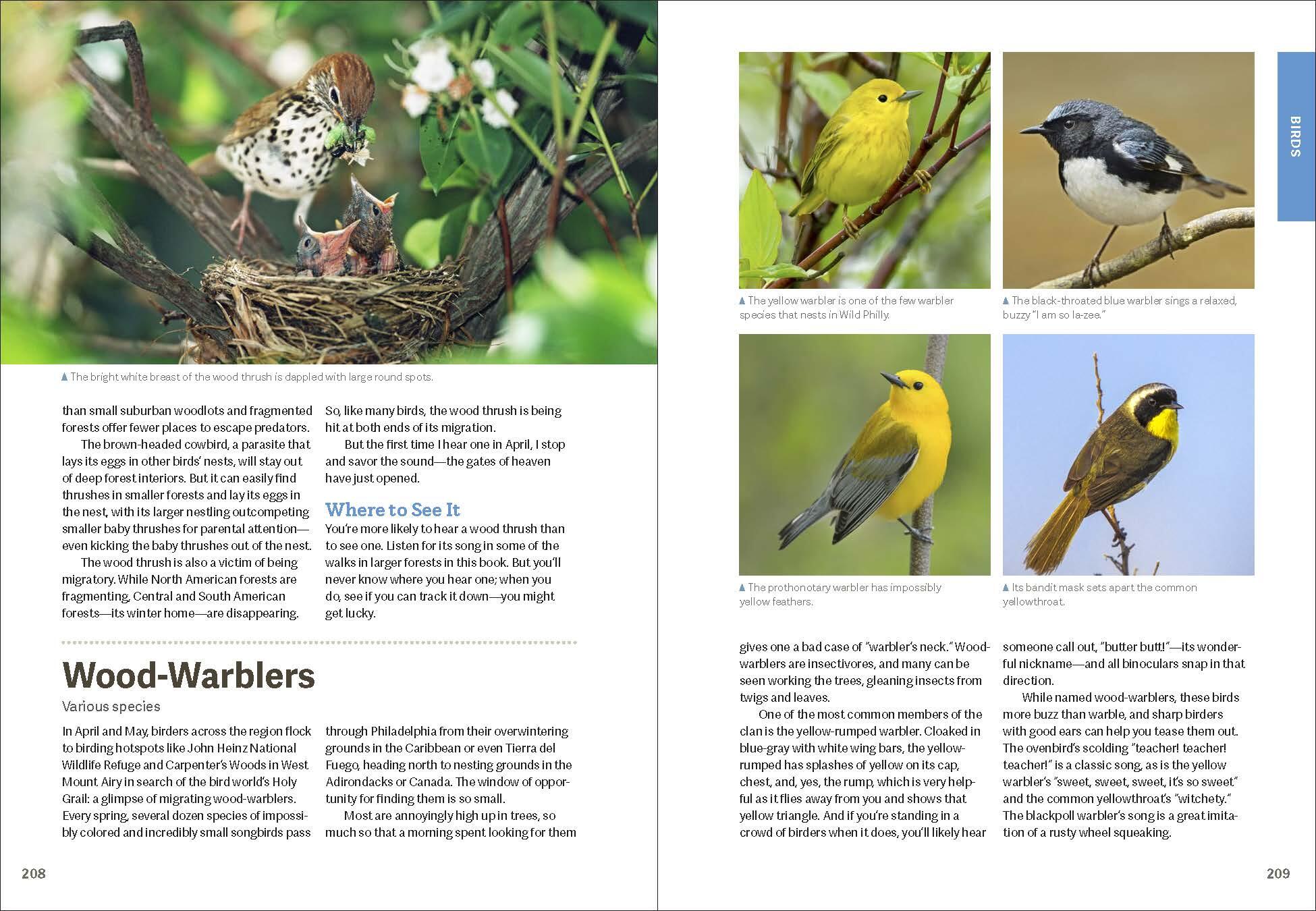
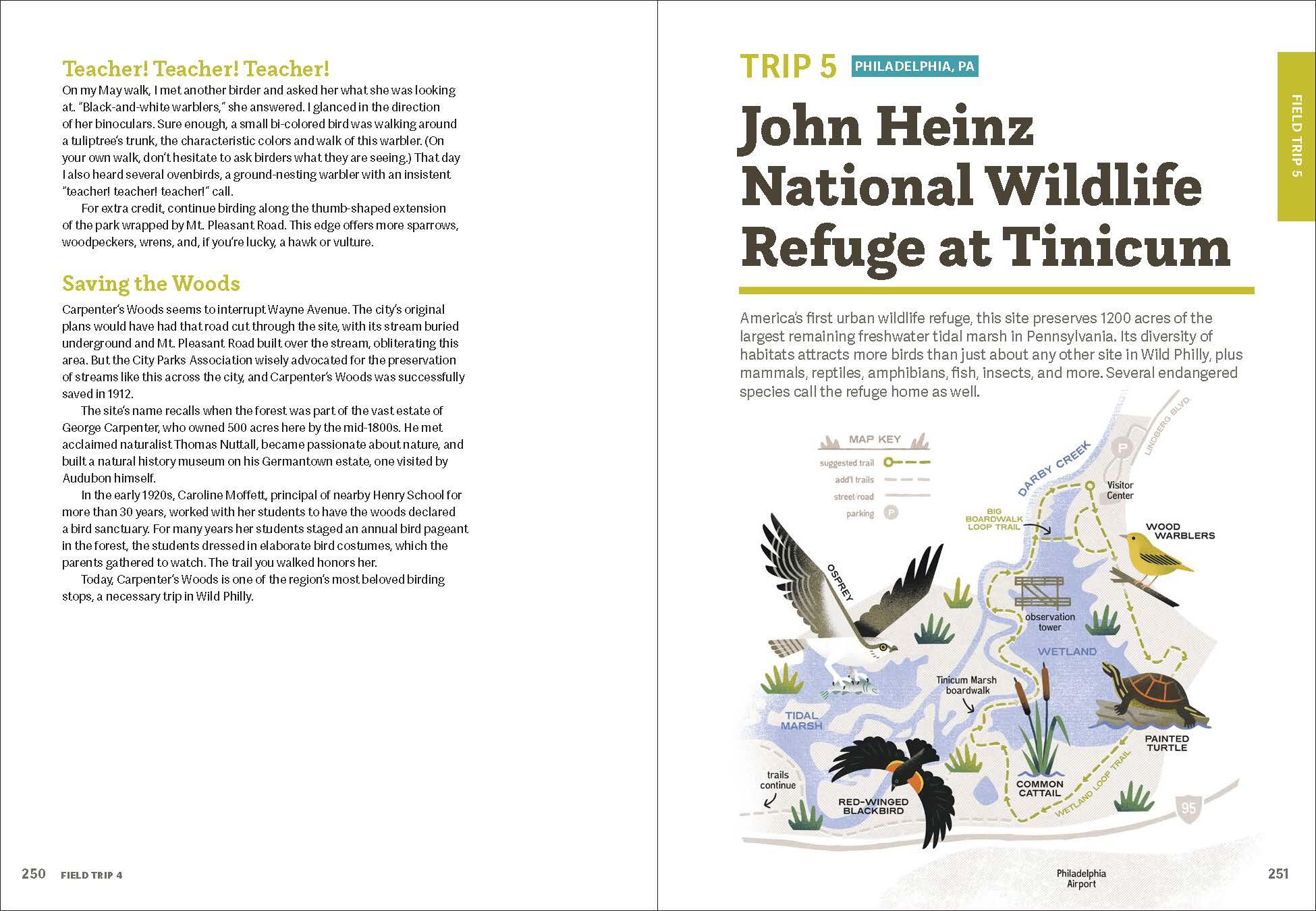
Philadelphia may seem like a concrete jungle, but in reality, it’s full of amazing wildlife. You just need to know where to find it! Equal parts natural history, field guide, and trip planner, Wild Philly has something for everyone. This handy yet extensive guide looks at the factors that shape local nature and profiles over 100 local species, from beautiful flowers and towering trees to majestic birds and surprising city-dwellers like coyotes and red foxes. Also included are descriptions of day trips that help you explore natural wonders on hiking trails, in public parks, and in your own backyard.
Genre:
Series:
-
"This guidebook by Mike Weilbacher includes the region's natural history, 101 species to know, and 19 field trips in the city, surrounding suburbs, and South Jersey."Philadelphia Inquirer
-
"Wild Philly will help you to discover new things about the animal and plant life throughout the region."Broad Street Books
-
“Lushly illustrated, Wild Philly provides tons of background on the wild nature of the Philly region, plus mini-biographies of 101 local plants and animals, 25 field trips in the region to see the best of nature, and four extra-credit trips outside the area.”Broad Street Review