Promotion
Use code MOM24 for 20% off site wide + free shipping over $45
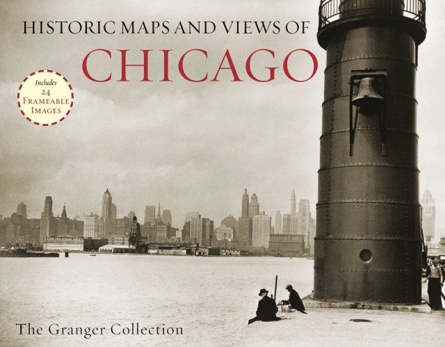
Historic Maps and Views of Chicago
24 Frameable Maps and Views

Contributors
Formats and Prices
Price
$19.95Format
Format:
Trade Paperback $19.95This item is a preorder. Your payment method will be charged immediately, and the product is expected to ship on or around October 9, 2012. This date is subject to change due to shipping delays beyond our control.
Also available from:
The perfect gift for lovers of travel, history, or art.
Genre:
- On Sale
- Oct 9, 2012
- Page Count
- 56 pages
- Publisher
- Black Dog & Leventhal
- ISBN-13
- 9781579129170
You May Also Like


Newsletter Signup
By clicking ‘Sign Up,’ I acknowledge that I have read and agree to Hachette Book Group’s Privacy Policy and Terms of Use
