By clicking “Accept,” you agree to the use of cookies and similar technologies on your device as set forth in our Cookie Policy and our Privacy Policy. Please note that certain cookies are essential for this website to function properly and do not require user consent to be deployed.
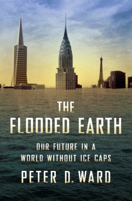
The Flooded Earth
Our Future In a World Without Ice Caps

Contributors
Formats and Prices
- On Sale
- Jun 29, 2010
- Page Count
- 272 pages
- Publisher
- Basic Books
- ISBN-13
- 9780465021710
Price
$10.99Price
$13.99 CADFormat
Format:
- ebook $10.99 $13.99 CAD
- Trade Paperback $19.99 $25.99 CAD
This item is a preorder. Your payment method will be charged immediately, and the product is expected to ship on or around June 29, 2010. This date is subject to change due to shipping delays beyond our control.
Buy from Other Retailers:
In The Flooded Earth, species extinction expert Peter Ward describes in intricate detail what our world will look like in 2050, 2100, 2300, and beyond — a blueprint for a foreseeable future. Ward also explains what politicians and policymakers around the world should be doing now to head off the worst consequences of an inevitable transformation.